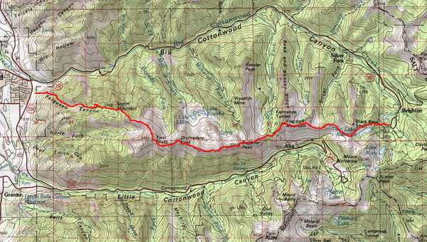
I decided to go for a hike at Brighton last week. In an effort to conserve gas I looked at alternate ways of getting there. My USGS topo map revealed a much more direct route which would cut off a couple of miles and would require no vehicle emmissions. So I thought I would check it out.
The Big Cottonwood Canyon Road=19miles
The Cottonwood Ridge Shortcut=14miles (that’s a savings of 5 miles)
The route starts in Ferguson Canyon and stays on the ridge dividing Big and Little Cottonwood Canyons. This is Twin Peaks, the first of several distinct peaks along the way.
Stopping to smell and enjoy the flowers and the majestic beauty of the mine tailings.
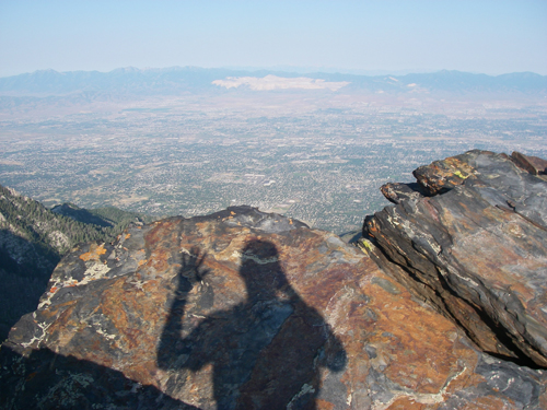
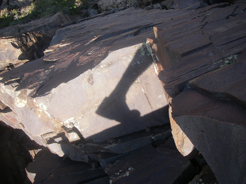
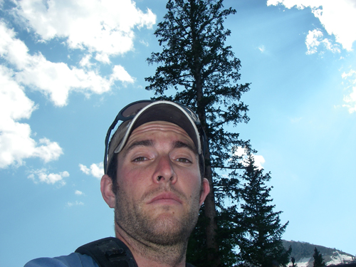
Stopping for a shadow pic.
View south from Twin Peaks.
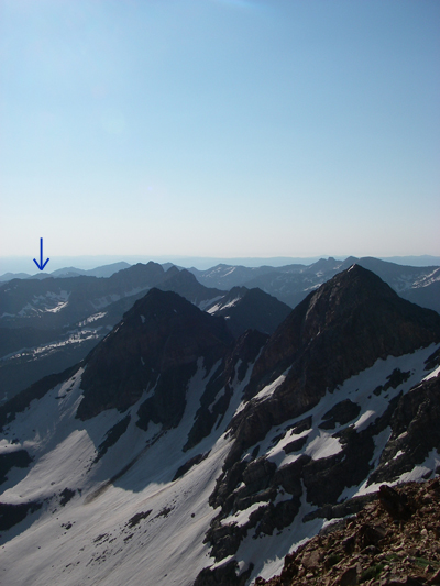
The route was quite visible from here. Brighton is somewher near the arrow.
Many miles of this. No time for dilly dallying.
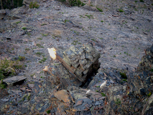
Terrible pic, but that’s as close as I got to any of the dozens of goats I saw.
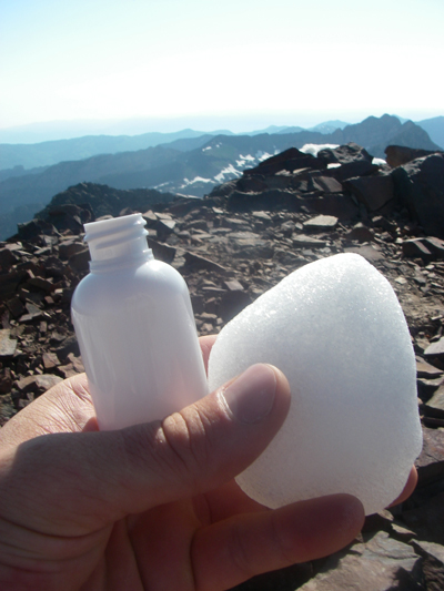
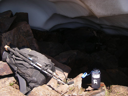
Stopped on top of Sunrise Peak for a “5hour energy” snowcone.
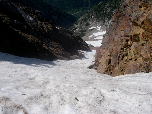
Looking down Tanners Slide Path
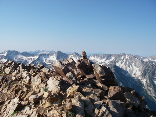
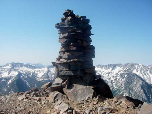
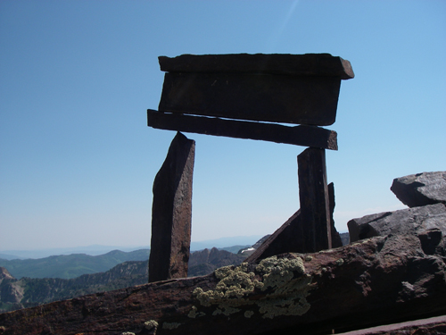
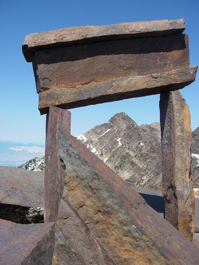
Summit of Dromedary Peak. Apparently somebody thought it wasn’t tall enough.
Ok, I did do some dillying.
And dallying along the way.
One step closer to a greener planet.
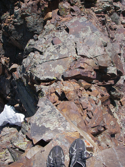
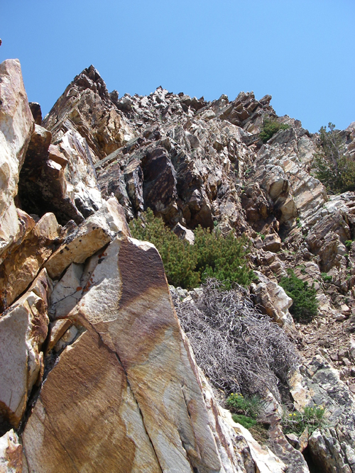
I must admit this rock scrambling got a bit tedious.
Stopped to refuel at this oasis.
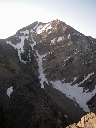
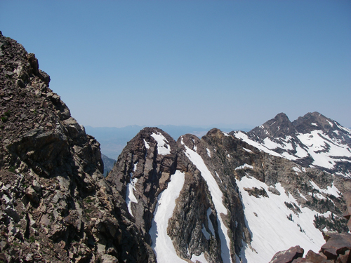
This is looking back on the route from Mount Superior.
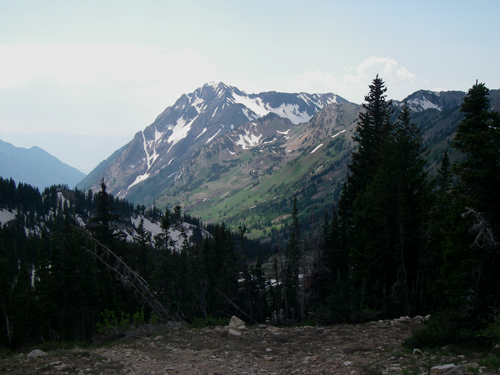
Travel from here to Brighton was pretty easy due to the much welcomed trails. Looking back to Superior from Twin Lakes Pass.
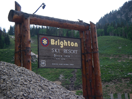
Success! A mere 11 hours and 15 minutes later I was at Brighton.
However, I didn’t really feel much like hiking once I got there.
Nobody said saving the environment would be easy! I’m just glad I could do my part.


0 comments