Many years ago Derek Weiss put down some funky lines off the iconic peak that haunts lower Big Cottonwood Canyon. I never quite understood where he skied, and have always been interested to investigate. Last Thursday it felt like time to go take a closer look.
But, let’s back up and talk more about Derek Weiss. There are very few folks who have skied as many notable first descents in the Wasatch as this guy. His blog and trip reports were a huge motivation for me back in the day and inspired my descent into adventure skiing. I feel really lucky to know Derek and to have been invited on some of his ski and moto escapedes. Some of my most gripped, relieved, frustrated and free moments have been epic-ing with him. I’ve never met such a fanatic; whatever he is into, it’s full bore tweeker time. If you haven’t spent time geeking out on the ski descents from THIS PAGE, then you should check it out.
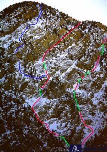
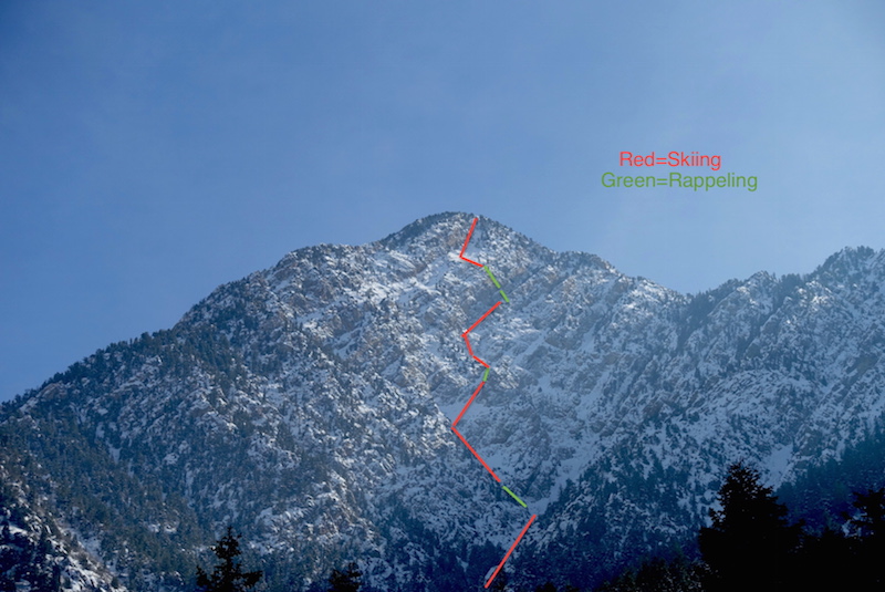
I grabbed this photo of Storm Mountain below from his website. “Skied a couple of lines up here back in ’97 or so (RED=Skied, Green=Rappel). Lots of rope work, but fun stuff anyway. Blue line hasn’t been skied yet, to my knowledge. Bring some pitons and have some fun”.
Unfortunately, I couldn’t find this image the other morning at 5 a.m. when I realized I should probably reference it before we headed out to ski it. Oh well, it’s the Wasatch, I thought. How complicated can it really be? The funny thing with Storm Mountain is that it’s very fucking complex and it’s really hard to read completely from any vantage points in the range. There aren’t any good photo’s online, and the Google earth imagery is shitty resolution, especially the terrain off the top and to the west that dumps into the Generator and Powerhouse area.
Ben Peters is always down to get rowdy so I invited him to join in the fun. He was very excited, but also confused at where the hell we were heading. I pretended like I knew.
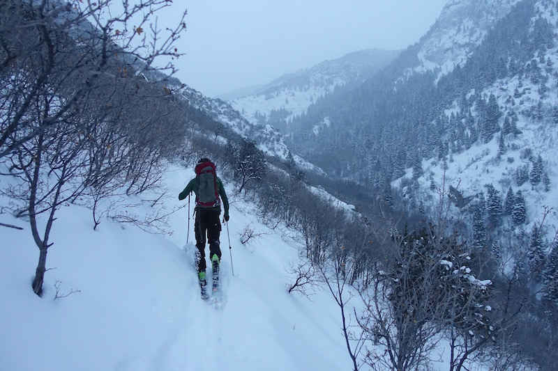
Heading up Ferguson Canyon in the early morning. The trail wasn’t broken for very far, lazy snowshoers!
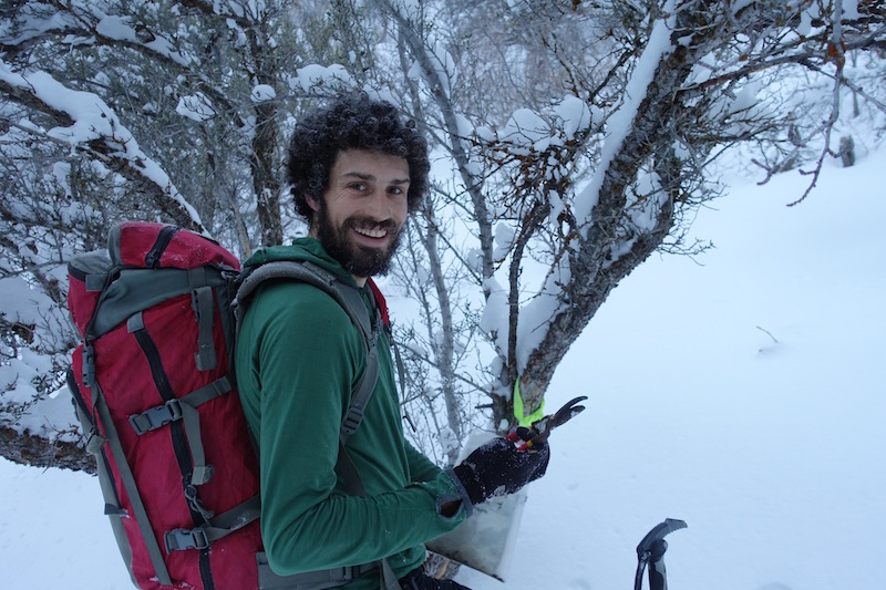
Clippers hanging from the tree. Are they for cutting scrub oak, or is it a sign that the Jew-fro needs a trim?
3,500 ft. of trail–breaking went by pretty quickly. It usually does with Ben. We talked about solar power, politics, religion and some ski–related subjects.
This was my first time up Ferguson in the winter. The snow coverage was great, and we skinned the entire way from the car. In the summer this is a pretty overgrown trail with lots of scratching and snagging. In the winter it’s a lot better, with only one section that’s nasty.
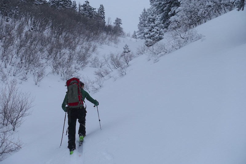
First glimpse of Storm Mountain! Gaining the summit was fairly straight forward. We skinned up a chute to the south that met up with the ridge.
Not easy, but straight forward.
The ridge was a wallow fest, but it was short at least.
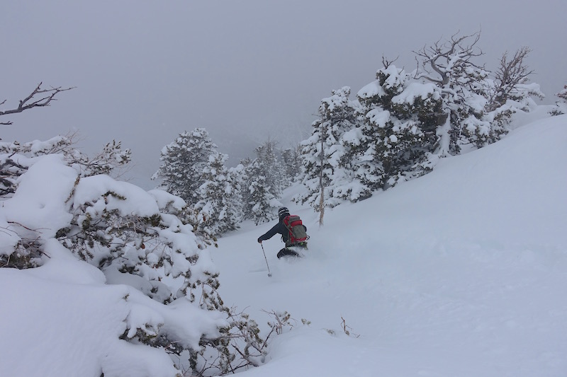
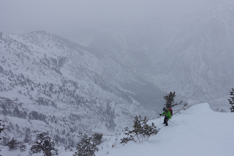
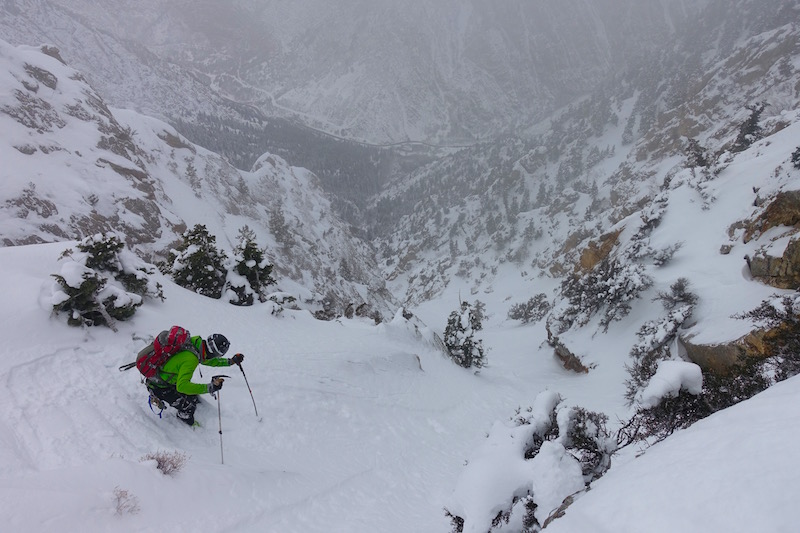
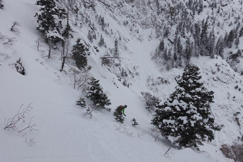
The terrain off the top was so inviting, it looked like any another mellow tree run in the Wasatch. Visibility was in and out on the summit, but we couldn’t really tell where to go. We chose to drop a bit to the west off the north ridge. The snow was incredible, but slight apprehension muffled our giggling.
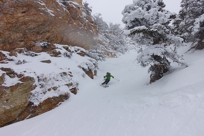
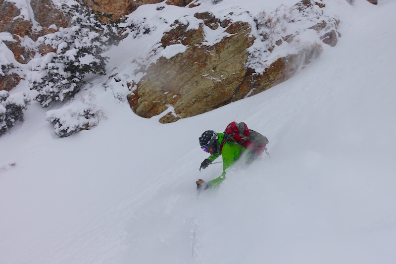
We found the upper chute we were praying for. There was a sneaky little entry and we were glad to not have to rappel in. Off to such a great start!
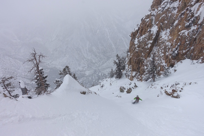
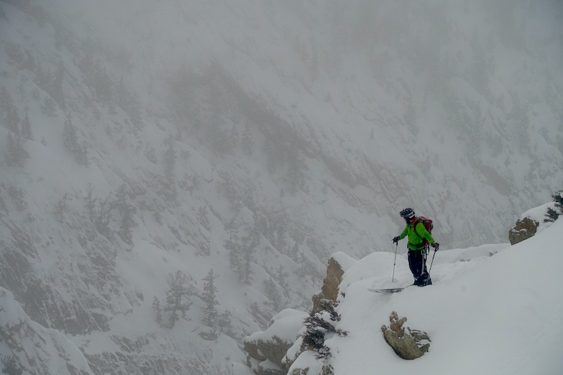
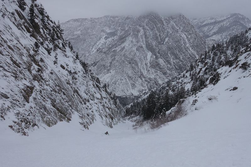
Cool place to be skiing powder with the Big Cottonwood road 4,000 ft. below.
The chute and good snow didn’t last long. We spilled out onto a large opening and poked around looking for the next move.
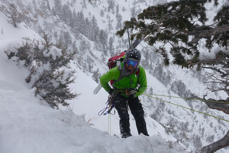
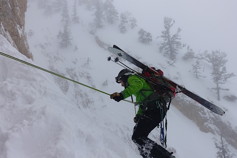
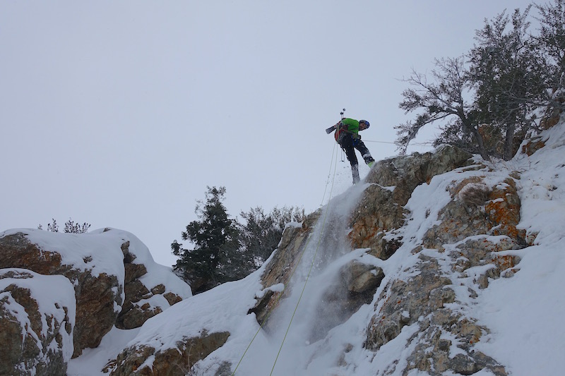
We could almost see into a huge chute to our left, so we traversed a little on skis, found a live tree to rap off of and Ben went down toward it.
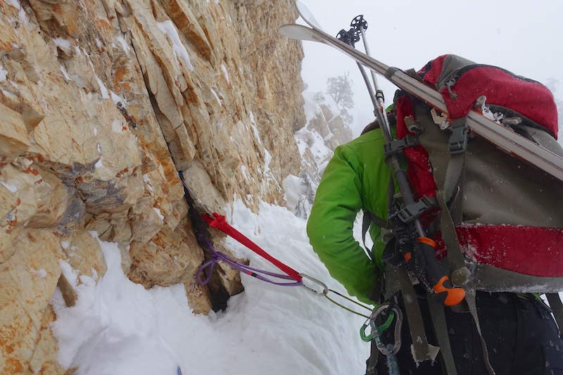
The 60 meter rope wouldn’t reach the chute, however, and Ben had to get creative. He managed to just barely get to a safe ledge and slide off the rope. I followed, and once on the ledge we looked for a spot to build a good anchor for a second rap.
It was about this point that I realized Ben wan’t going to make it down in time for his 12:30 meeting. And I felt stupid to have said that it was probable that he could. I started apologizing for not knowing the route better, which I continued to do for the rest of the day.
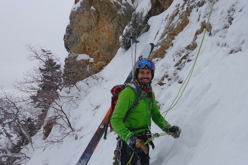
The rock was pretty loose and rotten, but we managed to place three nuts to put our rope on and all our trust in.
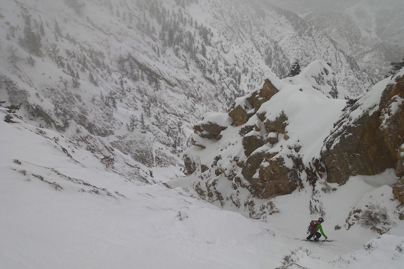
This was the nice, big, clean chute that Derek had skied from the ridge (see upper red line on Dereks photo). The snow was good on the sides and mixed in the middle where stuff had run through the gut.
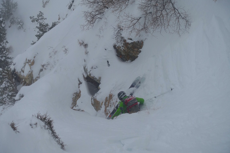
The chute ended by opening up and spilling out over cliffs, as seems to be the trend in this neighborhood. We poked around a bit and then looked over to find Ben doing this!
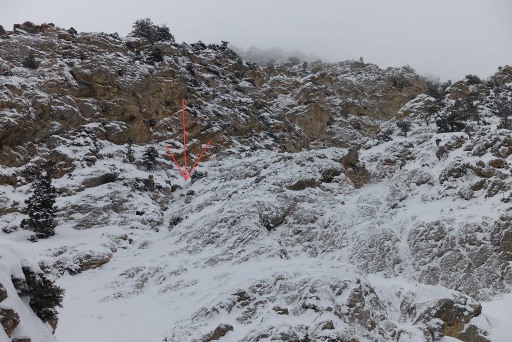
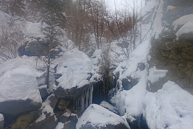
What is he doing exactly?! Well, that there is called “assing over something.” It’s used for descending short, rocky or icy sections. I followed him down for some reason. Mostly because he made it look easy, but it wasn’t easy and it wasn’t fun. Not sure I’ve been that gripped in a long time. I’ve had several hints that Ben is a WAY better skier and sure footed mountain dude than I on the few outings we’ve had. This was over the top, I don’t know how he got down so quickly and safely. I should have rappelled! He even admitted at the bottom that we both should have rappelled. Maybe he was just trying to make me feel better? I managed to hold an edge, but not my cool over several 50 degree ice bulges. I apologize to anybody in BCC that day that heard my profanities. Looking back at it from below made me feel like my mantrum wasn’t completely uncalled for. Though it was embarrassing. Red arrow=entry point of descent.
-
consisting of many different and connected parts.
-
a related group of emotionally significant ideas that are completely or partly repressed and that cause psychic conflict leading to abnormal mental states or behavior.
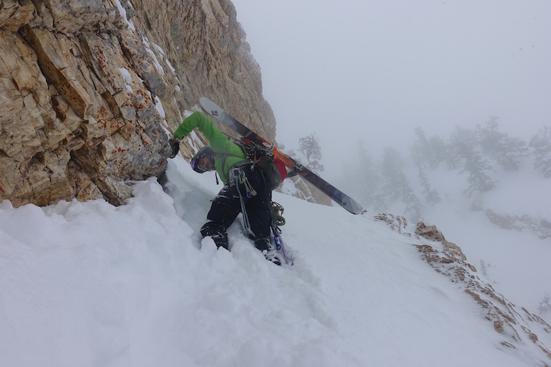
Still not out of the woods yet! There was a large rib and both the left and right options looked like they both had at least two more rappels. Left looked promising, so Ben dropped in while I waited to see what he found. A few minutes later he hollered up that he was booting back out.
So we went right and that was a much better option. We got some nice turns in on an angling ramp. That damn road still seemed so close, but so far away.
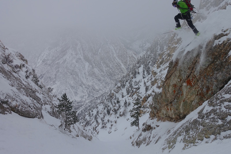
This ramp didn’t last long, and I rapped into a nice paralleling chute in a single length of rope. Ben had committed himself a bit lower and instead of booting back up he chucked himself off…
…and stuck it! Pretty sure when my mother reads this she’s not going to let me go play with this Ben Peters anymore. Extreme ski mountaineering just reached a new level!
Little skier, big mountain. If you can see Ben then you’ll see the snow ramp to his right. We traversed around this and into a gully. We were able to make several turns, side step through more ice and then even ski some more.
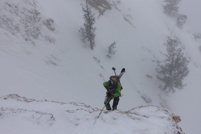
The apron, we kept longing for the flat, soft, welcoming apron. It was getting closer and closer, and with one more rappel we landed safely onto it.
We were still laughing, but it had been a much more committing and challenging puzzle than either of us had anticipated.
Ben enjoying the apron after having “skied” the face above him.
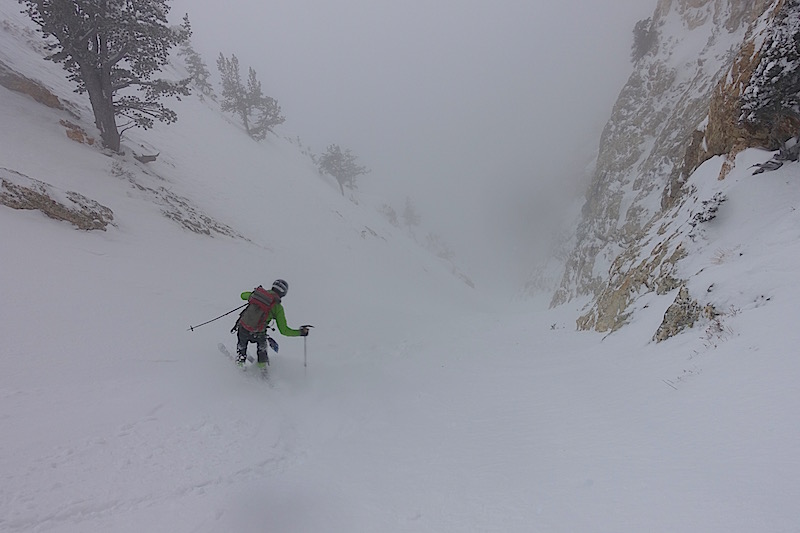
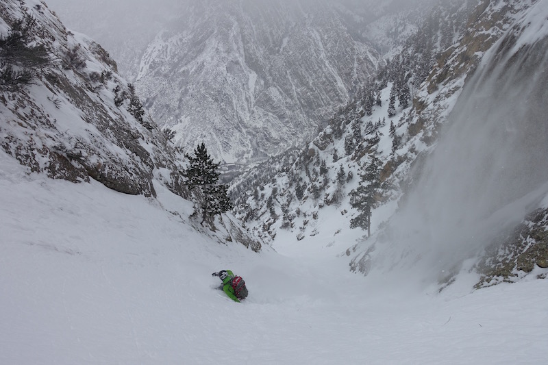
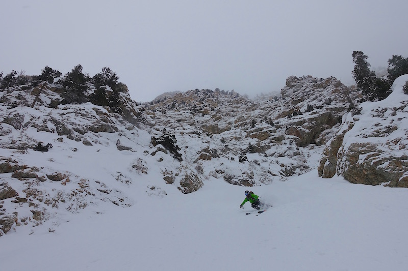
The snow was perfect and it looked like it might run a good ways down. It did…….
…but eventually turned to this. If you’ve been up or down this gully then you understand. If not, you owe it to yourself to partake in one of the finest Wasatch whack attacks.
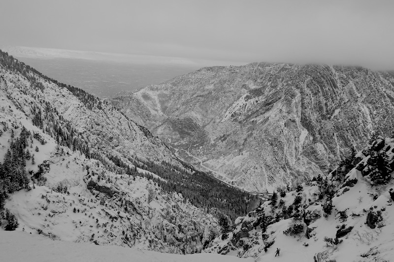
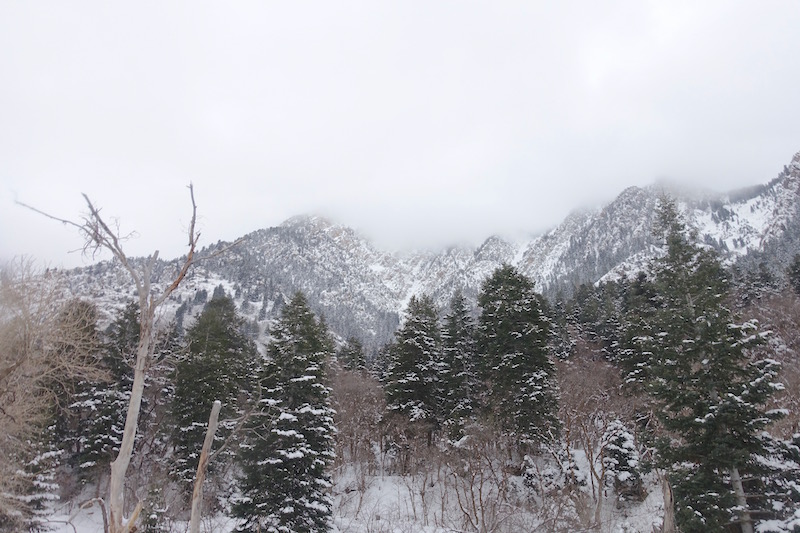
Looking back up at the mysterious mountains that were a little less mysterious now.
We were back at the car at 4:30, just four hours after Ben was supposed to be down. I apologized again. Huge thanks to Ben for being a good partner and humoring my bad ideas. I thought we were repeating a Weiss classic but we accidentally connected this new line from the top and shed some light on this “complex” region of Storm Mountain. Thanks to Derek for another inspired epic.

Hey Noah, I’ve been living vicariously off of yours and others blogs. You guys have been getting after it, as always.
You know what they say about great minds… well, Jim Harris and I skied a line off the east side of Storm Mountain a decade or so ago and called it the Storm Drain. It dropped into Stairs Gulch. No raps. I’m sure someone skied it at some point but Storm Drain seemed to fit. By the time you get to the bottom you feel flushed out of the beast. I guess others had the same idea.
Bill Hunt – are the same Bill Hunt that used to climb around Alta with Tony Calvert?
Cheers from the Hindu Kush (where I am NOT skiing),
Dave
Hey Dave,
It’s been a good season for getting er done! Finally!
I added the Spindrift Couloir to the desktop version of the Wasatch Backcountry Skiing map here: http://wbskiing.com/2934. I think I got it in the right place (let me know if otherwise).
That’s it Steve! Thanks
Bill,
It could have been ’98 that we skied those west face lines. Probably was. Trying to recall when I moved back to SLC. Either way, fun area.
I always climbed my lines; that would be even more challenging to be on top and not have climbed the line. I didn’t want to carry much for gear or ropes though :-). two ropes would be super helpful.
I always wanted to go back up there and get some decent photos, but never did… this was before Gopros, and I was always solo up there, aside from one friend who went on an early attempt lookers right of Spindrift, and he would never go back :-). I have one decent color slide looking down past my frontside edge, right at the rap tree; showing the massive exposure. I need to find those slides and get them scanned.
Reading my journal, I was calling something up above the Snowcave bowl the Storm Drain; thats another fitting name; hikers right of the Spindrift. I think that gets hit more by slides off of those rock slabs.
Cheers!
Bill
You may already know this, but Bing maps (bird’s eye view) can be a useful tool. As you change angles the photos change and sometimes they have great resolution. Anyway awesome line, thanks for the inspiration!
Hey Kordell, No I’ve never used Bing. I’ll check it out. Thanks for the heads up.
I relate to this post so much! Great job! I just mentioned to Ben on his Facebook post about this tour, in the spring of 1998 I spent about 40 days on the NE face of Storm Mountain. It is super complex on that side too! ha ha. I spent plenty of time inching down rock and ice with rock handholds, an antique ice axe, and my snowboard on. 🙂
Derek, that is crazy you spent so much time on the west side, the year before. Or was it the same season, 97-98? It was a huge base that year; I think Alta got to 175″ base, and it was a big base down low too; snow not rain back then; so a bunch of lines on lower Storm Mtn were in that I never saw before. I was living in Cottonwood Heights, so it was literally 8 minutes from my house. I even did the chute by the Hidden Fortress rock climb; which is way low, 6000′ to 7000′, usually a boulder filled rocky gully. That was the steepest line, shortest approach (and avoided the avi-exposed Stairs Gulch approach), that close to SLC I knew of.
If you look at Storm Mountain from the normal views on the road, there is a central chute that looks like it might go through to the top. Well it doesn’t, ha ha! But if you drive up the road past the S turn, a couple hundred yards past the bridge to a big pullout on the left, that is the only place on the road where you can see the chute system I spent most of my time trying to figure out. I called it the Spindrift Couloir…always snow and ice coming down… I eventually went off the top, did a sketchy traverse over cliffs, to a 25 meter rappel (if anyone gets up there please remove the sling from that tree), into a 59 degree bowl (not 60! :-); I measured it a dozen times; sustained at 59 degrees); then a 63 degree ice bulge, with rock handholds on the left wall, rock holds for my snowboard tail (I guess you could say, an ass move down the ice bulge, ha haha) :-). I never eliminated that 25 meter rappel; maybe in a big year…
Cheers!
Bill
That’s AWESOME Bill! I stare at that area almost every time I come down the canyon. I know just the turnout where it’s visible from. Ha! In fact a buddy of mine wants to go try it tomorrow. I’m thinking there isn’t as much snow as we’d like and sounds like nowhere near the snow you had, you lucky bastard! Nice work on that! I’ve always referred to it as the Storm Drain, but Spin Drift is a good name. Thanks for sharing the beta and story! I love hearing about these lines that were done before people had blogs and shit to spray about it. Cheers!
Ben is no longer allowed to play in the mountains with you either Noah!
Ben’s Mom
Ha! Well played Sara
Nice work, Noah. Down by 12:30………that’s funny. Those lines are definitely WTF lines when you stand on top of them and essentially just ski blind, not knowing what’s around the corner. Like you said, you can’t see them well from anywhere.
I can’t tell you how many times in the late 90’s I parked below them, staring up, alone in the car, twitching bad.