A friend asked me to come present a slideshow in Mammoth at the end of March. I agreed. Jason and Andy Dorais and Tom Goth were able to get some time off so we could make a proper ski trip out of it. Wow! The fucking Sierra mountains! It had been about 15 years since I last skied there. My buddy Darrell and I managed to sneak down the mountaineers route on Mount Whitney and scratch out some lines on the Dana Plateau as well as Ellery Bowl on light and floppy telemark gear.
There really are few ranges as grand and prime for steep skiing in the lower 48 and I should try and wax poetic about the Sierra mountains, but what could I say that a certain John Muir hasn’t already expressed with simple elegance.
“All the world lies warm in one heart, yet the Sierra seems to get more light than other mountains. The weather is mostly sunshine embellished with magnificent storms, and nearly everything shines from base to summit – the rocks, streams, lakes, glaciers, irised falls, and the forests of silver fir and silver pine.” -John Muir-
I knew very little about the Giant Steps route on Mount Williamson before this trip last week. Apparently Williamson is the second highest peak in the Sierra and the 6th highest in the lower 48. And the Giant Steps route is one of the “50 Classics of North America” and that it hasn’t been skiable for the past 10 years or so. However, it’s seen a handful of descents this year due to the record year in the Sierra.
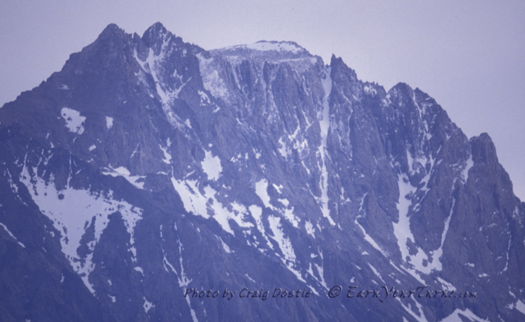
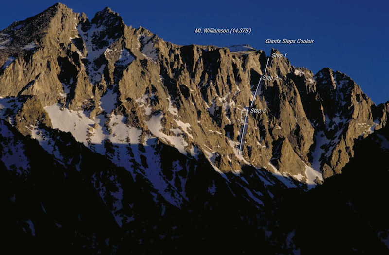
There is a great write up on the full history of this line HERE at Earn Your Turns. Well worth the few minutes to read. Giant Steps is the main chute center/right in the photo below. It appears to be one continuous line, but it’s a connection of 3 steps. It’s visible from the highway, but quite complicated to get into and out of, unless you have a GPS track from a previous party, thanks Dale 😉
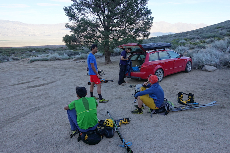
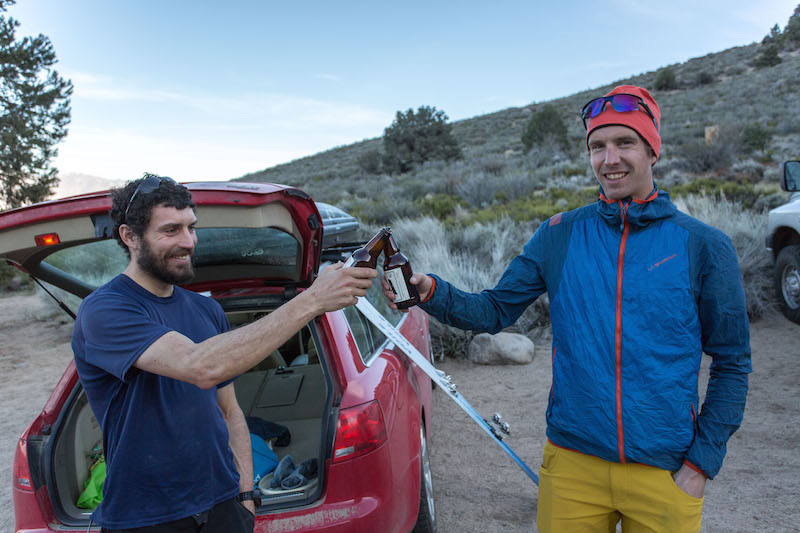
Ben Peters was staying in Mammoth and he met us at 4:15 in Bishop and we drove south to Independence with two vehicles. Ben’s low clearance wagon took a beating on the rocky dirt roads leading into the foothills. Andy’s jacked-up mini-monster truck was in it’s element and Andy was having a blast opening it up. We established a car shuttle leaving one for our exit at the Shepard Pass trailhead and departing from the other car up North Fork of Bairs Creek.
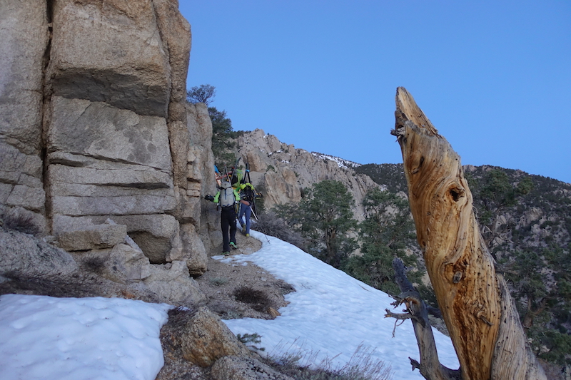
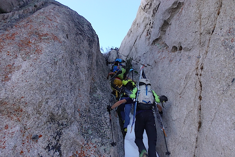
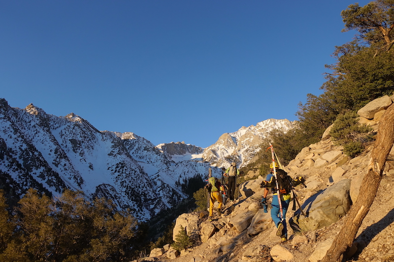
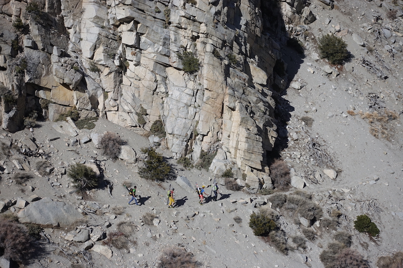
The “trail” was a slightly worn dirt path that partly resembled a game trail, but defined well enough we could easily follow it by headlamp as it continued up the ridge. It allowed us to quickly gain 1400 feet with trail shoes on. We only made one wrong turn, up the rocky chute picture below. I guess that’s what happens when you’ve got a bunch of couloir fiends on hand. We retraced and got back on route.
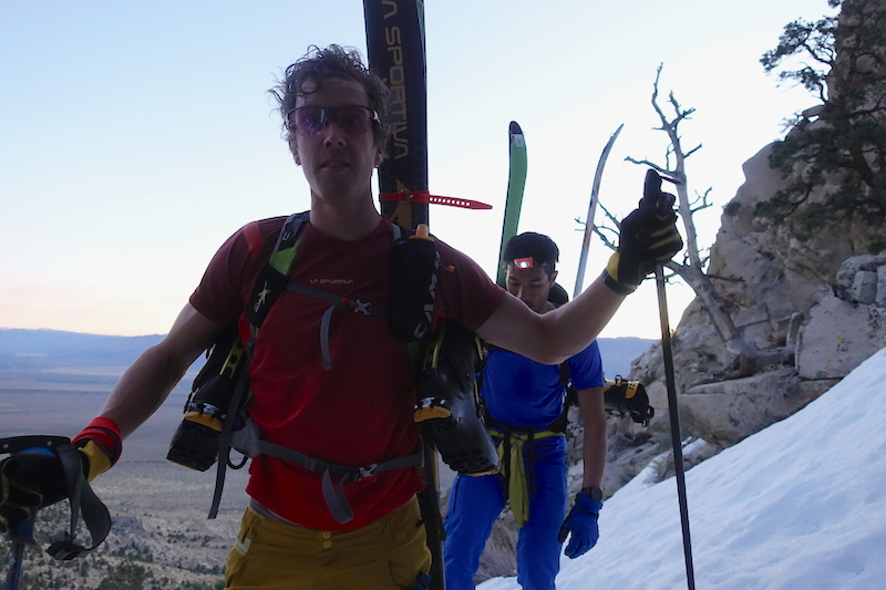
Tom and Andy trying to keep up, or wishing we were moving faster. You make the call.
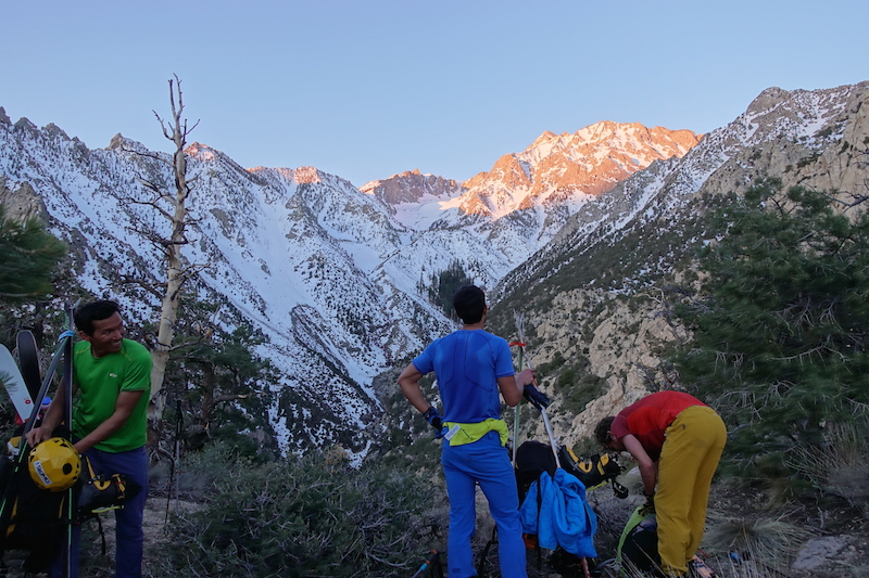
We made the notch in the ridge where we supposed to drop into Bairs Creek. We took a quick break while the sun broke out all over the upper peaks.
We had heard of great potential for bushwhacking, but non was encountered. Maybe we just hit it right, or the scrub oak we’re used to dealing with has made us impervious. The trail was sandy and slick with lots of loose rock, but pretty fast and easy going.
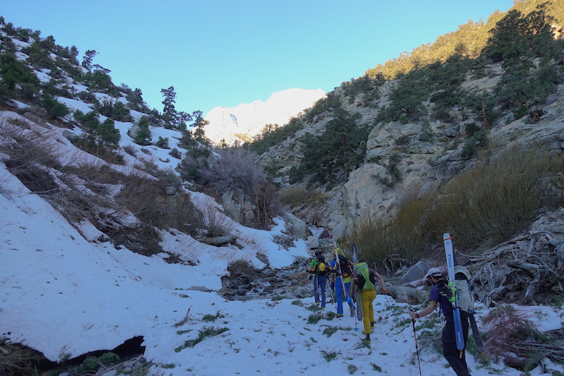
We found snow down in the creek and transitioned to ski boots, stashing the shoes in our packs. This was at about at 7,500 feet in elevation.
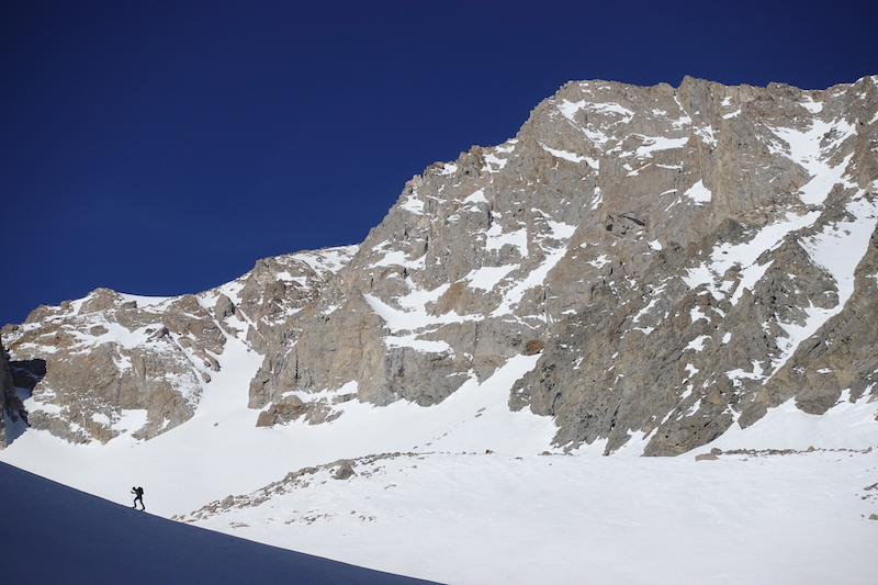
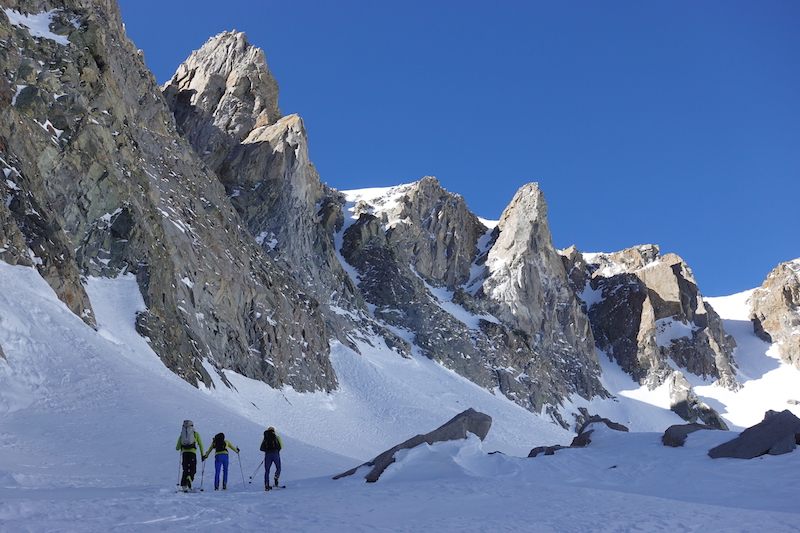
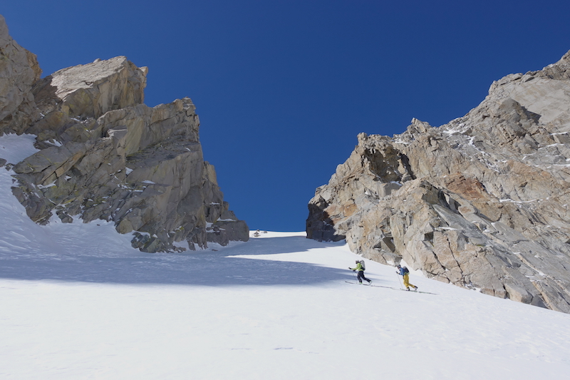
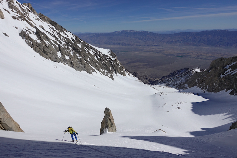
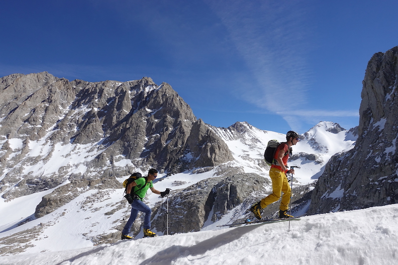
A steep climb out of the main gully put us onto very mellow skinning terrain for about 4,000ft! Jason Dorais with the east face of Williamson showing off it’s massive self.
From our guesstimate it was going to be a 12,000 foot day of climbing once you add all the little bumps required to get into and out of this 14,000+ foot peak. My biggest days of the season had only been around 5-6K and the highest elevations around 11k. Keeping up was tough even though the crew was moving casually. But with my zoom lens I was able to appear to keep up.
At well over halfway the group was nice enough to indulge me for a quick picnic. And they even acknowledged how nice it was to chill just for a minute, but only for a few minutes then Tom prodded us along. Ben and Tom putting in the trail.
The snow had been firm, refrozen corn to this point. But now, at around 12,500 we found some soft snow and had a little hope that the Giant Steps might actually have some good snow for us to ski.
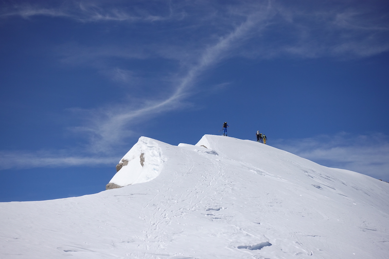
The climb was very mellow and straightforward once we were out of the lower foothills and gullies. It kind of lulled us to sleep on such a lovely warm day. The next thing we knew we were on the summit ridge.
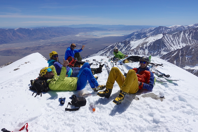
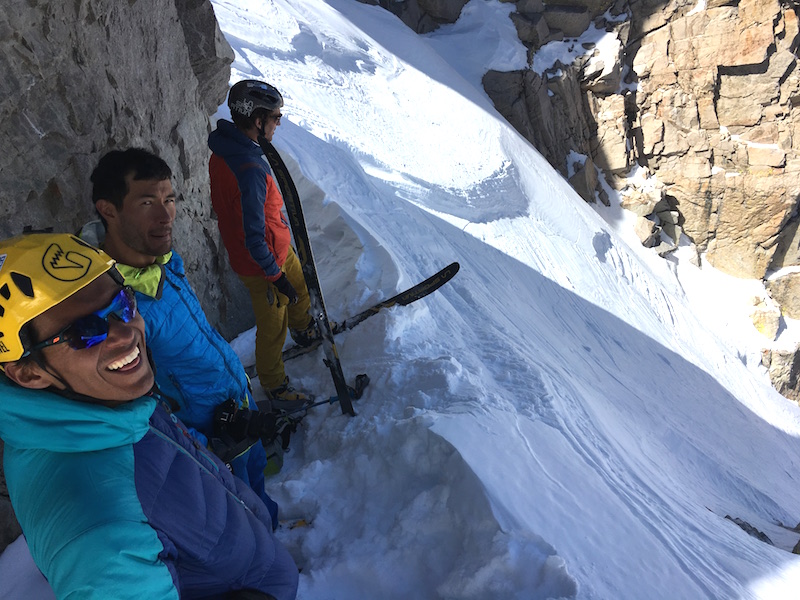
We met up with a group of two on the summit, they topped out right before us. They had gone up a different drainage to the south and started 6 hours before us. They had beat us to the summit and therefore in the unspoken skiers code clearly had the right to descend first. We hung out on the summit for 45 minutes taking it all in and relaxing and giving the advance party time to clear out.
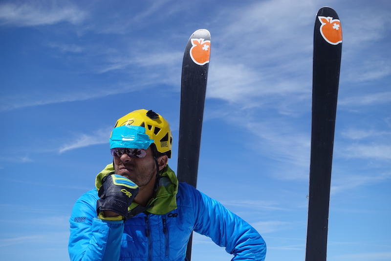
Andy forgot his sunglasses and made due by duct taping Ben’s spare lenses to his helmet. Always function over fashion in the mountains.
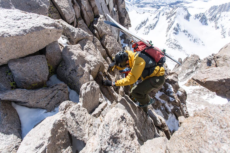
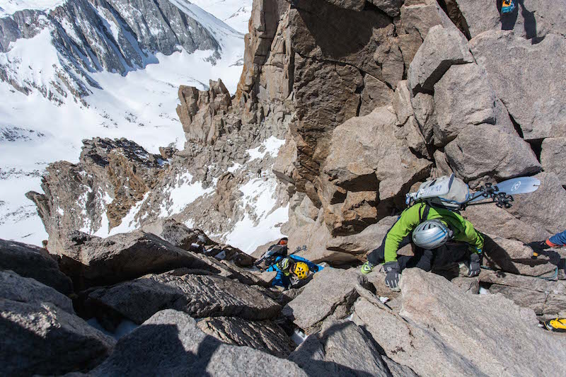
Getting onto the Giant Steps isn’t all that straight forward as far as descents go. We skied off the summit for a short pitch and then took skis off and walked around looking for the notch. The notch is a low point on the ridge that allows access to a west facing chute by down-climbing or a short rappel. We had a rope and two harnesses between the five of us, but decided to climb down when we saw that it looked straight forward. And it was, the holds were large and plentiful and the rock was solid.
Photos- Jason Dorais
From here you traverse out to the north (skiers right) into another notch and this is the start of the Giant Steps. We had caught up to the party in front of us and so we hung out and patiently waited our turn (some of us more patiently than others).
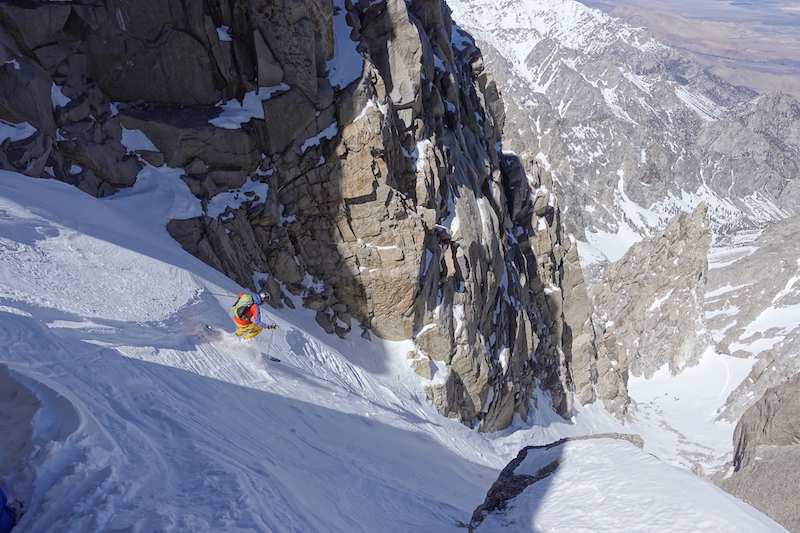
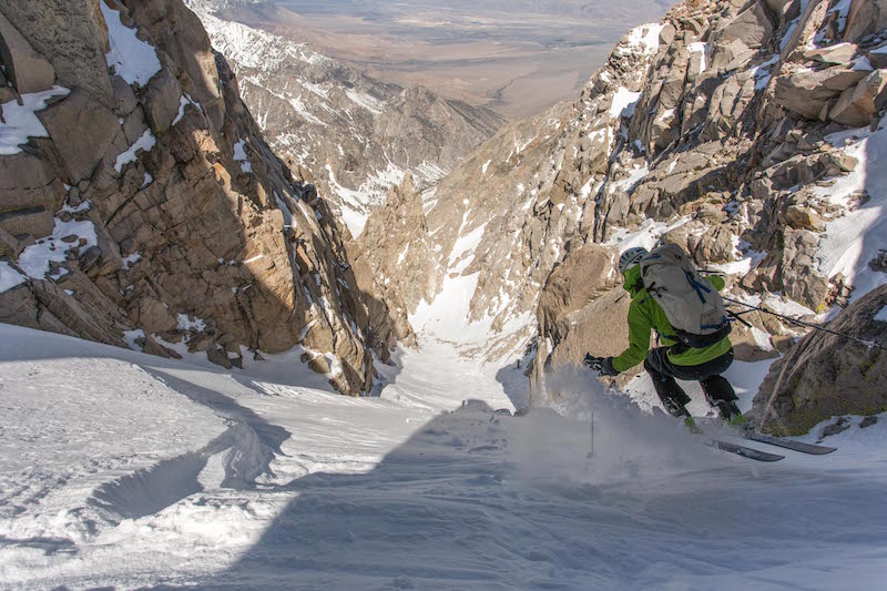
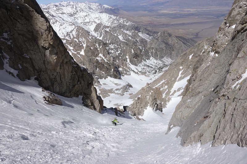
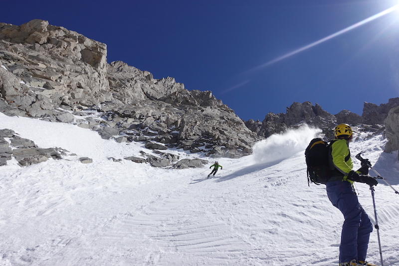
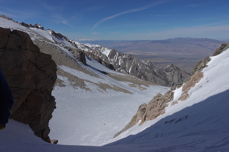
Tom took first hops for our group on the chalky and firm snow. It was in the 50 degree range for a few turns and then leveled out into the mid 40’s. You can see the ski tracks of the group in front of us bumping up onto the next step lower in the photo. And beyond that you can see where our car is parked some 8,000 feet below on the valley floor.
Ben taking some careful baby steps into Giant Steps. (photo- Jason Dorais)
The old hop and chop. (photo-Jason Dorais)
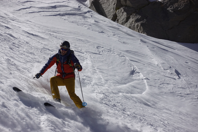
Great edgy and predictable snow!
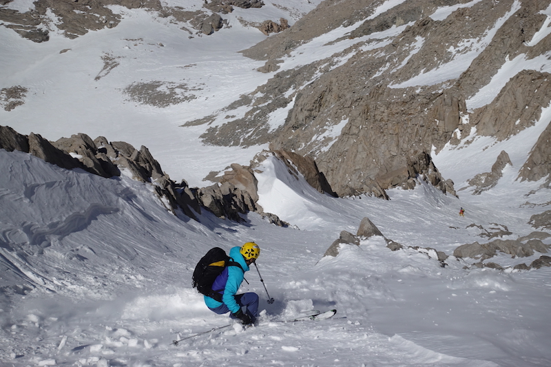
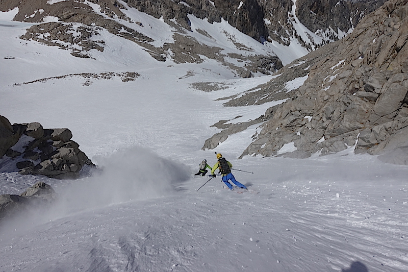
We skied up and over a 20 foot section and into the 2nd step which was quite similar to the first, but a little bit longer. Tom Goth enters.
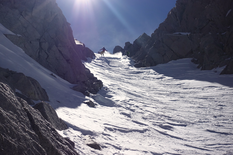
Despite being a large group, we moved quickly, leapfrogging long sections and then stopping to make sure and get the shot.
Ben working the lower section on step #2.
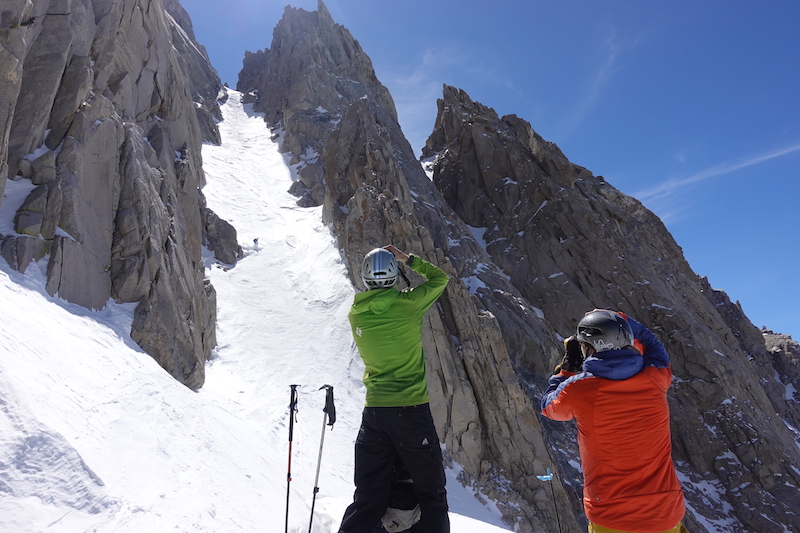
Shoot skiing! Ben and Tom getting photographed while shooting pictures of Jason and Andy skiing the shot.
Another small uphill bump and we traversed into the third and final step. Jason and Tom making their way in the world today.
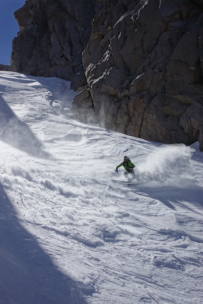
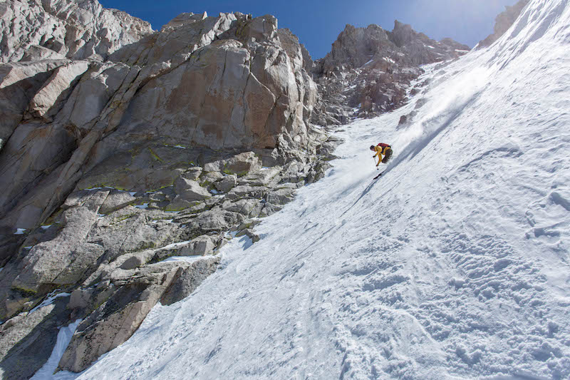
Not a lot to say about the actually skiing parts, the thoughts fall away with the act of falling away. (photo- Jason Dorais)
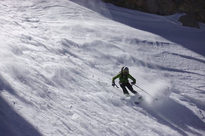
Ben carving up chalk plumes.
Andy follows Ben down the apron getting the GoPro shot.
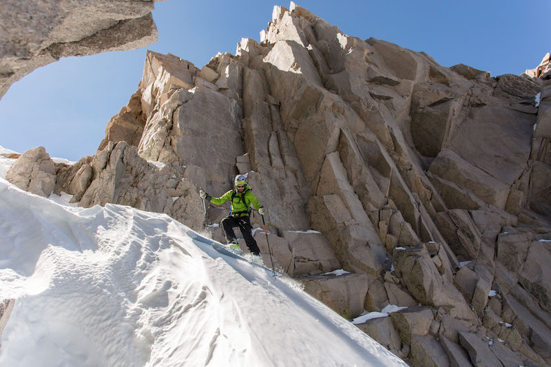
There was one tight choke that had snow for the first four of us, but was really rocky by the time Tom got down to it. One of his skis popped off and shot down the slope while he was side stepping through it. Luckily he maintained footing. The ski went into flipping mode and then stuck in the snow. He had to down climb to get to it as we all looked on and heckled.
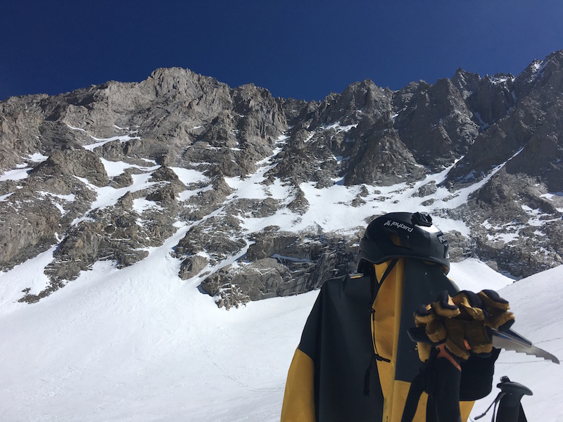
We took another picnic at the base of the line. It sure doesn’t look like much from this angle and you can see how it eluded it’s first descent for so long. I really dig the complex lines that can remain hidden from many angles and don’t reveal themselves easily.
A great shot I snagged from Earn Your Turns that displays the unique steps from a good angle.
In a big year, or with lower elevation snow, it’s possible to ski straight out from here and we were tempted. But, the stories we heard were tales of many stream crossings and some serious bushwhacking. We opted to bump up and out into the next drainage to the north where we could ski a bit more and then hopefully find the well established Shepard Pass trail. Sometimes you’ve got to get up to get down.
We were all out of water and pretty much out of food. We tanked back up on aqua from some melting run-off in the cliffs. We caught up to the other ski party in the saddle and rallied out together down a few thousand feet of really fun mellow terrain holding a mix of light wind effect snow and even some corn.
The snow didn’t run out, but we had to traverse around into another canyon so we switched to trail shoes, found the trail and contoured up and around again on what I guess in this day and age we would call “alternative snow”.
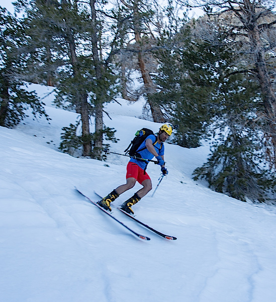
The south sides were dry, the north sides were covered in deep snow and on the in betweens we found many deep patches that interrupted the trail. Eventually we wrapped around far enough and found some great wooded low elevation snow remaining. Andy had been hiking in some mandex shorts and just kept on rolling with them on our final descent. (photo- Jason Dorais)
Our skis led us right to the switchbacks on the trail and we made our final transition to shoes. The walk out was only a mile or two with some small creek crossings. We feel like we made the best call by exiting this way even though it added many miles and a good chunk of vertical gain.
All in all we were out for almost 12 hours having gained and lost 11,000 feet in roughly 20 miles distance while skiing one of the complex gems of the High Sierra. Definition of EPIC I believe. A lot has changed since I last visited this range, it was fun to return with larger lungs, a super fit crew, a whole new set of lightweight high performance skis boots and bindings and a redefined definition of what steep skiing is.
The perfect outing with Ben’s car being the only one to limp away from the day a little battered and bruised.

I made the first ski descent (solo with telemark skis) of Mt. Keith May 5, 1991 across from Mt. Williamson in John Muir’s The Range of Light!
Nice work! My buddy CJ and I got in there in February and had pow ❄️❄️ Cold and a super long day out the drainage with a walk back to the car after. Awesome day in the mountains!
Noah,
This was a great trip report! I’ve been waiting for years for the snowpack to ski this line. Going to the eastside this weekend-would you be willing to share the gps coordinates for the entry chute?
Thanks a ton!
Hey Dave,
Thanks man. I emailed with your buddy Colin. I’ll try and get you the coordinates.
Cheers,